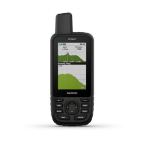
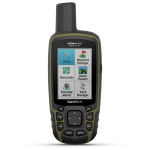
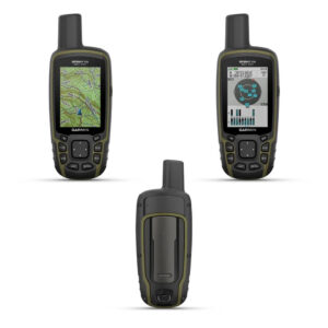
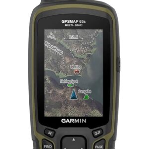
Garmin GPS Map 65S

Brand:

57,900.00

Shipping calculated at checkout.

or
Categories: Brand:

Have any Questions?

Feel free to Get in touch

About This Product

  •  Large 2.6″ sunlight-readable color display
  • Expanded global navigation satellite systems (GNSS) and multi-band technology allow you to get optimal accuracy
  • Includes routable TopoActive mapping and federal public land map (U.S. only)
  • Go-anywhere navigation with 3-axis compass and barometric altimeter
  • Compatible with the Garmin Explore website and app

Find your way in this big, wide world with GPSMAP 65. This rugged handheld offers multi-band technology and expanded GNSS support for optimal accuracy in steep country, urban canyons and forests with dense trees. It has a 2.6” color display and button-operated design. Wireless connectivity through BLUETOOTH and ANT+ technologies provides compatibility with the Garmin Explore™ website and app (compatible smartphone required) to help you manage tracks, routes and waypoints and review statistics from the field.EXPANDED GNSS SUPPORTMulti-band technology and expanded GNSS support (GPS, GLONASS, Galileo, QZSS and IRNSS) provide optimal accuracy in steep country, urban canyons and forests with dense trees.PRELOADED TOPO MAPSPreloaded TopoActive U.S. and Canada maps show you terrain contours, topographic elevations, summits, parks, coastlines, rivers, lakes and geographical points.PUBLIC LAND BOUNDARIESAn optional display of federal public land boundaries on topographical maps helps you know that you’re venturing where you’re supposed to be.SMART NOTIFICATIONSReceive emails, texts and alerts right on your handheld when paired with your compatible smartphoneFeaturesPre-loaded with TOPO U.S. and Canada mapsUtilizes GPS, GLONASS, Galileo, QZSS, and IRNSS global navigation satellite systems for accurate positioning, even in dense cover and urban canyonsmicroSD slot for adding finely detailed Garmin Topo 24K and HuntView Plus mapsPlan.


Information

Screen Size Unit of Measure2.6 Inches
Network Connectivity Technology
Bluetooth
Map Coverage Type
North America, Satellite, Topographical
Audio Output Mode
Digital
Battery Average Life
16 hrs
Mounting Type
Handheld
Resolution
160 x 240
Display Type
Transflective, 65K Color TFT
Human Interface Types
Buttons
Control Method
App
Are Batteries Included?
No
Supported Satellite Navigation System
BeiDou, GLONASS, GPS, QZSS
Connectivity Protocol
Bluetooth


Garmin GPS Map 65S

57,900.00