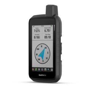
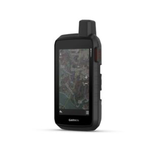
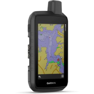
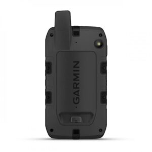
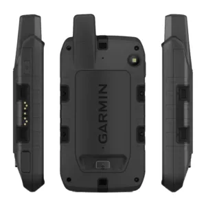
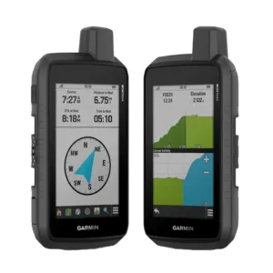
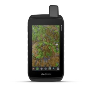
About This Product
- Touch screen
- WVGA transflective, dual orientation display
- Rechargeable lithium-ion or 3 AA batteries
- GPS Mode: upto 18 hours, Expedition Mode: upto 330 hours
- Water Rating IPX7
- MIL-STD-810 yes (thermal, shock, water, vibe)
- High-Sensitivity Receiver
- High speed micro USB and NMEA 0183 compatible
- Memory – 1 6 GB (user space varies based on included mapping)
- Preloded Maps – yes (TopoActive, by region; Federal Public Lands maps
Stay on track with the rugged Montana® 710 handheld GPS navigator. Built to guide you through all kinds of adventures, it includes TopoActive mapping and a glove-friendly 5” color touchscreen. Expanded 32 GB memory capacity lets you store more maps to keep your expeditions on course. High-resolution satellite imagery, available via subscription-free, direct-to-device downloads (requires a connection with Wi-Fi® technology), shows a clear overhead view of your route and surrounding terrain. Get the on- or off-road capabilities you need with multi-GNSS satellite network support and ABC sensors. Add ongoing access to Outdoor Maps+ (sold separately) for a wide variety of premium mapping content. Explore longer with up to 24 hours of battery life in GPS mode and up to 432 hours in ultralow-powered expedition mode, and recharge easily with a standard USB-C® cable. Plus, Montana 710 meets MIL-STD 810 for thermal, shock and vibration and is rated IPX7 for water-resistance.
Information
| Screen Size Unit of Measure | 5 Inches |
|---|---|
Network Connectivity Technology | Bluetooth, USB, Wi-Fi |
Map Coverage Type | North America |
Audio Output Mode | Bluetooth and specialized powered mounts |
Battery Average Life | 24 hrs |
Mounting Type | Panel Mount |
Resolution | 480 x 800 |
Display Type | Touch Screen |
Human Interface Types | Touch Screen |
Control Method | Touch |
Are Batteries Included? | Yes |
Supported Satellite Navigation System | GPS |
Connectivity Protocol | Bluetooth |


